国立情報学研究所 - ディジタル・シルクロード・プロジェクト
| |||||||||
|
| Scientific Results of a Journey in Central Asia, 1899-1902 : vol.2 | |
| 1899-1902年の中央アジア旅行における科学的成果 : vol.2 |
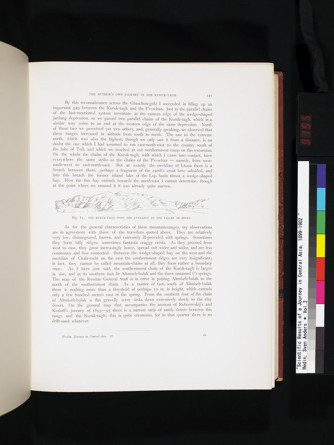 |
| クルク・ターグとスゲト渓谷への入り口。THE KURUK-TAGH WITH THE ENTRANCE TO THE VALLEY OF SUGET. |
THE AUTHOR'S OWN JOURNEY IN THE KURUK-TAGH. I2I
By this reconnaissance across the Ghaschun-gobi I succeeded in filling up an important gap between the Kuruk-tagh and the P'e-schan. Just as the parallel chains of the last-mentioned system terminate at the eastern edge of the wedge-shaped jardang depression, so we passed two parallel chains of the Kuruk-tagh, which in a similar way come to an end at the western edge of the same depression. North of these two we perceived yet two others, and, generally speaking, we observed that these ranges increased in altitude from south to north. The one to the extreme north, which was also the highest, though we only saw it from a distance, is no doubt the one which I had assumed to run east-north-east to the country south of the lake of Toli, and which we touched at our northernmost camp on this excursion. On the whole the chains of the Kuruk-tagh, with which I came into contact, have everywhere the same strike as the chains of the P'e-schan — namely, from west-south-west to east-north-east. But at exactly the meridian of Lhasa there is a breach between them, perhaps a fragment of the earth's crust here subsided, and into this breach the former inland lake of the Lop basin thrust a wedge-shaped bay. How far this bay extends towards the north-east I cannot determine, though at the point where we crossed it it was already quite narrow.
Fig. 81. THE KURUK-TAGH WITH THE ENTRANCE TO THE VALLEY OF SUGET.
As for the general characteristics of these mountain-ranges, my observations are in agreement with those of the travellers quoted above. They are relatively very low, disintegrated, barren, and extremely ill-provided with springs. Sometimes they form hilly ridges, sometimes fantastic craggy crests. As they proceed from west to east, they grow increasingly lower, spread out wider and wider, and are less continuous and less connected. Between the wedge-shaped bay on the west and the meridian of Chala-tschi on the east the southernmost ridges are very insignificant; in fact, they cannot be called mountain-chains at all, they form rather a boundary grim». As I have just said, the southernmost chain of the Kuruk-tagh is larger in size, and at its southern foot lie Altmisch-bulak and the three unnamed (?) springs. The map of the Russian General Staff is in error in putting Altmisch-bulak to the north of the southernmost chain. As a matter of fact, south of Altmisch-bulak there is nothing more than a threshold of perhaps I o m. in height, which extends only a few hundred meters east of the spring. From the southern foot of the chain of Altmisch-bulak a flat gravelly scree sinks down excessively slowly to the clay desert. On the general map that accompanies the account of Roborovskij's and Kosloff's journey of 1893-95 there is a narrow strip of sandy desert between this range and the Kuruk-tagh; this is quite erroneous, for in that quarter there is no drift-sand whatever.
Iledin, Tourney in Central Asia. H.
16
|
Copyright (C) 2003-2019
National Institute of Informatics(国立情報学研究所)
and
The Toyo Bunko(東洋文庫). All Rights Reserved.
本ウェブサイトに掲載するデジタル文化資源の無断転載は固くお断りいたします。