国立情報学研究所 - ディジタル・シルクロード・プロジェクト
| |||||||||
|
| Scientific Results of a Journey in Central Asia, 1899-1902 : vol.2 | |
| 1899-1902年の中央アジア旅行における科学的成果 : vol.2 |
 |
| 同前The same |
HYDROGRAPHICAL RELATIONS ON THE NORTH OF THE KARA-KOSCHUN. 195
man or hunter, who had ever heard speak of them, or had himself seen them. This again goes to prove that they could not be more than two years old. If they remain stationary, and the fresh water, vegetation, fish, wild-duck, and wild-geese visit them, then they will soon acquire names, mostly the names of the men who first settle beside them, or names derived from some trivial circumstance or occurrence
connected with their animal or vegetable life.
The 31st March was given up to a canoe-journey across the sheets of water that supply the
northern lakes. First came a number of intricate expanses, more or less amply furnished with kamisch, in which there was almost everywhere a flow . towards the north. We travelled east, then south,
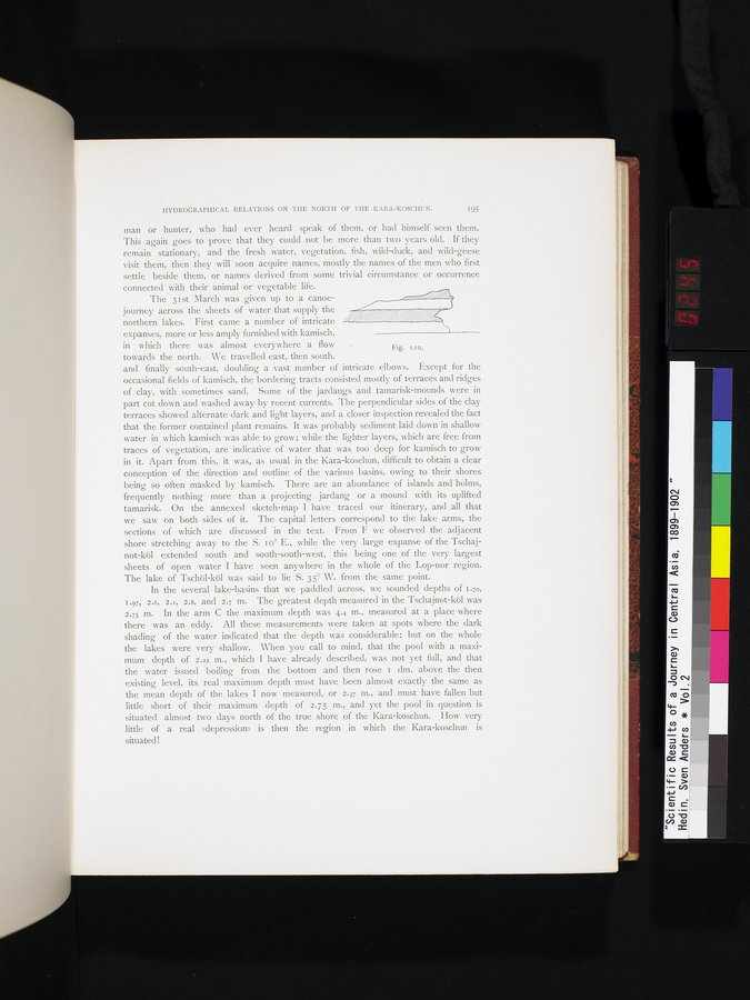
and finally south-east, doubling a vast number of intricate elbows. Except for the occasional fields of kamisch, the bordering tracts consisted mostly of terraces and ridges of clay, with sometimes sand. Some of the jardangs and tamarisk-mounds were in part cut down and washed away by recent currents. The perpendicular sides of the clay terraces showed alternate dark and light layers, and a closer inspection revealed the fact that the former contained plant remains. It was probably sediment laid down in shallow water in which kamisch was able to grow; while the lighter layers, which are free from traces of vegetation, are indicative of water that was too deep for kamisch to grow in it. Apart from this, it was, as usual in the Kara-koschun, difficult to obtain a clear conception of the direction and outline of the various basins, owing to their shores being so often masked by kamisch. There are an abundance of islands and holms, frequently nothing more than a projecting jardang or a mound with its uplifted tamarisk. On the annexed sketch-map I have traced our itinerary, and all that we saw on both sides of it. The capital letters correspond to the lake arms, the sections of which are discussed in the text. From F we observed the adjacent shore stretching away to the S. 1 o° E., while the very large expanse of the Tschajnot-köl extended south and south-south-west, this being one of the very largest sheets of open water I have seen anywhere in the whole of the Lop-nor region. The lake of Tschöl-köl was said to lie S. 35° W. from the same point.
In the several. lake-basins that we paddled across, we sounded depths of I.70, 1.97i 2.6, 2. r, 2.8, and 2.7 m. The greatest depth measured in the Tschajnot-köl was 2.75 m. In the arm C the maximum depth was 4.4 m., measured at a place where there was an eddy. All these measurements were taken at spots where the dark shading of the water indicated that the depth was considerable; but on the whole the lakes were very shallow. When you call to mind, that the pool with a maximum depth of 2.22 m., which I have already described, was not yet full, and that the water issued boiling from the bottom and then rose 1 dm. above the then existing level, its real maximum depth must have been almost exactly the same as the mean depth of the lakes I now measured, or 2.37 m., and must have fallen but little short of their maximum depth of 2.75 m., and yet the pool in question is situated almost two days north of the true shore of the Kara-koschun. How very little of a real »depression» is then the region in which the Kara-koschun is situated!
, , , , , . , z r
i,
Fig. 120.
|
Copyright (C) 2003-2019
National Institute of Informatics(国立情報学研究所)
and
The Toyo Bunko(東洋文庫). All Rights Reserved.
本ウェブサイトに掲載するデジタル文化資源の無断転載は固くお断りいたします。