国立情報学研究所 - ディジタル・シルクロード・プロジェクト
| |||||||||
|
| Scientific Results of a Journey in Central Asia, 1899-1902 : vol.2 | |
| 1899-1902年の中央アジア旅行における科学的成果 : vol.2 |
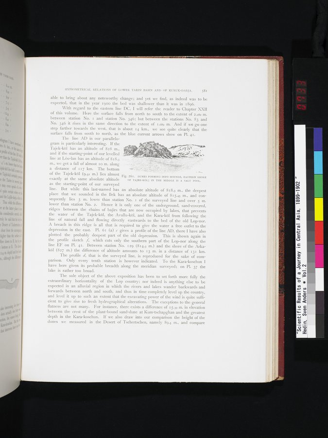 |
| マウンドの中に形成された砂丘、タイェク・クル湖の東岸。塩湖の中央にて。DUNES FORMING INTO MOUNDS, EASTERN SHORE OF TAJEK-KÖL; IN THE MIDDLE IS A SALT POOL. |
HYPSOMETRICAL RELATIONS OF LOWER TARIM BASIN AND OF KURUK-DARJA. 581
able to bring about any noteworthy change; and yet we find, as indeed was to be expected, that in the year 1900 the bed was shallower than it was in 1896.
With regard to the eastern line DC, I will refer the reader to Chapter XXII of this volume. Here the surface falls from north to south to the extent of 2.282 m. between station No. 1 and station No. 346; but between the stations No. 83 and No. 346 it rises in the same direction to the extent of 1.689 m. And if we go one step farther towards the west, ,that is about 14 km., we see quite clearly that the surface falls from south to north, as the blue current arrows show on Pl. 41.
The line AD in our parallelo-
gram is particularly interesting. If the --~
Tajek-köl has an altitude of 828 m., `
and if the starting-point of our levelled ~ '~^" s.t, { ° ,` ;`":"~.=
line at Lôu-lan has an altitude of 818.3
m., we get a fall of almost Io m. along -_
a distance of 117 km. The bottom'`"`°
:rte - _
of the Tajek-köl (9.52 m.) lies almost Flg. 261. DUNES FORMING INTO MOUNDS, EASTERN SHORE
exactly at the same absolute altitude OF TAJEK-KOL; IN THE MIDDLE IS A SALT POOL.
as the starting-point of our surveyed
line. But while this last-named has an absolute altitude of 818.3 m., the deepest place that we sounded in the Ilek has an absolute altitude of 815.45 m., and consequently lies 3 m. lower than station No. 1 of the surveyed line and over 5 m. lower than station No. 2. Hence it is only one of the underground, sand-covered, ridges between the chains of bajirs that are now occupied by lakes, that prevents the water of the Tajek-köl, the Avullu-köl, and the Kara-köl from following the line of natural fall and flowing directly eastwards to the bed of the old Lop-nor. A breach in this ridge is all that is required to give the water a free outlet to the depression in the east. PI. 61 (a) e gives a profile of the line AD, there I have also plotted the probably deepest part of the old depression. This is shown again in the profile sketch f, which cuts only the southern part of the Lop-nor along the line EF on Pl. 41. Between station No. 129 (814.3 m.) and the shore of the Arkaköl (827 m.) the difference of altitude amounts , to 13 m. in a distance of 131 km.
The profile d, that is the surveyed line, is reproduced for the sake of cornparison. Only every tenth station is however indicated. To the Kara-koschun I have here given its probable breadth along the meridian surveyed; on Pl. 37 the lake is rather too broad.
The sole object of the above exposition has been to set forth more fully the extraordinary horizontality of the Lop country; nor indeed is anything else to be expected in an alluvial region in which the rivers and lakes wander backwards and forwards between north and south, and thus in time completely level up the country, and level it up to such an extent that the excavating power of the wind is quite sufficient to give rise to fresh hydrographical alterations. The exceptions to the general flatness are not many. For instance, there exists a difference of 15.39 m. in elevation between the crest of the plant-bound sand-dune at Kum-tschapghan and the greatest depth in the Kara-koschun. If we also draw into our comparison the height of the dunes we measured in the Desert of Tschertschen, namely 89.5 m., and compare
|
Copyright (C) 2003-2019
National Institute of Informatics(国立情報学研究所)
and
The Toyo Bunko(東洋文庫). All Rights Reserved.
本ウェブサイトに掲載するデジタル文化資源の無断転載は固くお断りいたします。