国立情報学研究所 - ディジタル・シルクロード・プロジェクト
| |||||||||
|
| Scientific Results of a Journey in Central Asia, 1899-1902 : vol.2 | |
| 1899-1902年の中央アジア旅行における科学的成果 : vol.2 |
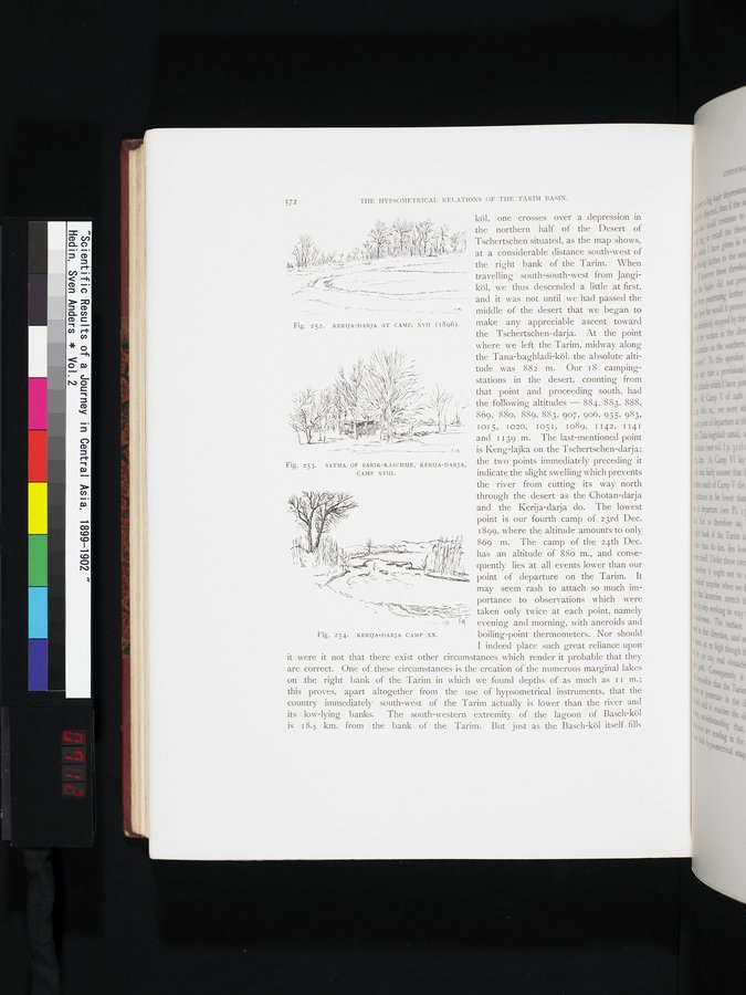 |
| 第42キャンプ地のケリヤ・ダリヤ。(1896年)。KERIJA-DARJA AT CAMP. XVII (1896). | |
| サトマ・ケシュムのサトマ、ケリヤ・ダリヤ、第43キャンプ。SATMA OF SARIK-KÄSCHME, KERIJA-DARJA, CAMP XVIII. | |
| ケリヤ・ダリヤ、第20キャンプ。KERIJA-DARJA CAMP XX. |
572 THE HYPSOMETRICAL RELATIONS OF THE TARIM BASIN.
L. köl, one crosses over a depression in
~, the northern half of the Desert of
r i,~ Tschertschen situated, as the map shows,
' , `: zf. ''! ,i g,~; •''' i'`' ''i"'°`;"fir at a considerable distance south-west of
the right bank of the Tarim. When travelling south-south-west from Jangiköl, we thus descended a little at first, and it was not until we had passed the middle of the desert that we began to
Fig. 252. RERfJA DARJA A'I CAMP. XVII (1896). make any appreciable ascent toward
the Tschertschen-darja. At the point where we left the Tarim, midway along the Tana-baghladi-köl, the absolute altitude was 882 m. Our 18 camping-stations in the desert, counting from that point and proceeding south, had the following altitudes — 884, 883, 888, 869, 88o, 889, 883, 907, 906, 935, 983,
I015, 1020, I051, I089, I142, 1141
and 1139 m. The last-mentioned point is Keng-lajka on the Tschertschen-darja;
Fig. 253. SATMA OF SARIK-KÄSCHME, KERFJA DARJA, the two points immediately preceding it
CAMP xvIII. indicate the slight swelling which prevents
the river from cutting its way north through the desert as the Chotan-darja and the Kerija-darja do. The lowest point is our fourth camp of 23rd Dec. 1899, where the altitude amounts to only
869 m. The camp of the 24th Dec.
has an altitude of 88o m., and conse-
' t if F _ quently lies at all events lower than our
`~ ' . - °`; `~_ _ = " point of departure on the Tarim. It
may seem rash to attach so much importance to observations which were ..vim taken only twice at each point, namely
- - 3W evening and morning, with aneroids and
Fig. 254. KERIJA-DARJA CAMP XX. boiling-point thermometers. Nor should
I indeed place such great reliance upon it were it not that there exist other circumstances which render it probable that they are correct. One of these circumstances is the creation of the numerous marginal lakes on the right bank of the Tarim in which we found depths of as much as I I m.; this proves, apart altogether from the use of hypsometrical instruments, that the country immediately south-west of the Tarim actually is lower than the river and its low-lying banks. The south-western extremity of the lagoon of Basch-köl is 18.5 km. from the bank of the Tarim. But just as the Basch-köl itself fills
|
Copyright (C) 2003-2019
National Institute of Informatics(国立情報学研究所)
and
The Toyo Bunko(東洋文庫). All Rights Reserved.
本ウェブサイトに掲載するデジタル文化資源の無断転載は固くお断りいたします。