国立情報学研究所 - ディジタル・シルクロード・プロジェクト
| |||||||||
|
| Scientific Results of a Journey in Central Asia, 1899-1902 : vol.2 | |
| 1899-1902年の中央アジア旅行における科学的成果 : vol.2 |
 |
| カラ・コシュン南部および北部における深度の違い。DIFFERNCE OF DEPTH IN THE SOUTHERN AND NORTHERN PART OF KARA-KOSCHUN. |
146 KARA-KOSCHUN.
freezes, it is pretty full of water, and the icy covering protects it against excessive evaporation. When the spring-flood reaches it, its level is already considerably higher than in the autumn.
After spending the night on the shore of the Tojaghun, we returned on the 9th April to Kum-tschapghan. That day the temperature did not rise above 12° C., and the wind blew from the north-east with a velocity of 8 m. in the second. The fresh green . shoots of the kamisch were only 1'/2 dm. above the surface of the water, and they were still thin.
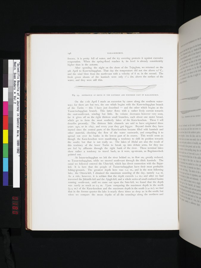
Fig. 93. DIFFERENCE OF DEPTH IN THE SOUTHERN AND NORTHERN PART OF KARA-KOSCHUN.
On the 11th April I made an excursion by canoe along the southern waterway ; for there are but two, the one which begins with the Kum-tschapghan branch of the Tarim — this I have just described — and the other which begins at the Tusun-tschapghan branch. This latter flows with a rather lively current towards the east-south-east, winding but little. Its volume decreases however very soon, for it gives off on the right thirteen small branches, each about one meter broad, which go to form the most southerly lakes of the Kara-koschun. These I will describe presently. The thirteen little channels are said to have originated three years ago, or in 1897, and every year they get bigger. Beyond doubt they have started since the central parts of the Kara-koschun became filled with kamisch and other material, checking the flow of the water eastwards, and compelling it to spread out over its banks in the lowest part of its course. This would seem as though the Kara-koschun were manifesting a tendency to shift its position towards the south; but that is not really so. The lakes of Abdal are also the result of this tendency of the lower Tarim to break up into deltaic arms, for they too are fed by affluents through the right bank of the river. These terminal lakes show rather a tendency to travel back, as it were, up-stream, as Bogdanovitsch pointed out.
At Istam-tschapghan we left the river behind us, to flow on, greatly reduced, to Tusun-tschapghan, while we steered south-east through the thick kamisch. The canal we followed entered the Uktu-köl, which has direct connection with the Bajatköl. It is here that the people of Tusun-tschapghan have their most profitable fishing-grounds. The greatest depth here was 1.6i m., and in the next following lake, the Ottora-köl, I obtained the maximum sounding of the day, namely 1.90 m. As a rule, however, it is seldom that the depth exceeds I.o m.; and after we had traversed the Jäkänlik-köl and the Ajagh-köl, and a whole series of small confined basins running south-east, until we came out upon the Sate-köl, we found that the depth was rarely as much as o.3 m. Upon comparing the maximum depth in the north (5.15 m.) of the Kara-koschun and the maximum depth in the south (1.90 m.), we find that in the former quarter the lake is nearly three times as deep as in the south; but when we compare the mean depths of all the soundings along the northern and
|
Copyright (C) 2003-2019
National Institute of Informatics(国立情報学研究所)
and
The Toyo Bunko(東洋文庫). All Rights Reserved.
本ウェブサイトに掲載するデジタル文化資源の無断転載は固くお断りいたします。