国立情報学研究所 - ディジタル・シルクロード・プロジェクト
| |||||||||
|
| Scientific Results of a Journey in Central Asia, 1899-1902 : vol.2 | |
| 1899-1902年の中央アジア旅行における科学的成果 : vol.2 |
 |
8o THE KURUK-TAGH AND THE KURUK-DARJA.
the products of disintegration. Towards its crest the forms of the chain become more and more rounded, and the relative heights much lower. The pass of Tschöltagh is situated at an altitude of 2958 feet (Russian). South of it, and approached by quite a short descent, lies a shallow open cauldron-shaped depression, saline and barren. It contains the spring of Kattar-scholghun (julghun) or Atschik-su (2667 feet), the water of which is strongly impregnated with salt. On the opposite side of it the glen of Schaldran opens out, where there exist long rows or colonnades of table-like elevations of sand and clay, one saschen high and crowned by tamarisks — what I have called tamarisk-mounds. There is no water there.
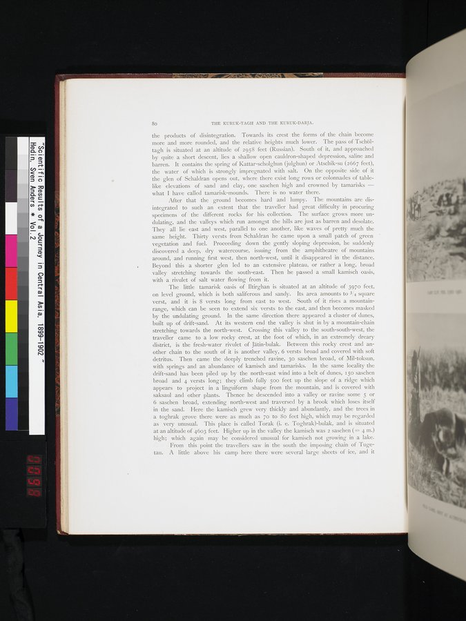
After that the ground becomes hard and lumpy. The mountains are disintegrated to such an extent that the traveller had great difficulty in procuring specimens of the different rocks for his collection. The surface grows more undulating, and the valleys which run amongst the hills are just as barren and desolate. They all lie east and west, parallel to one another, like waves of pretty much the same height. Thirty versts from Schaldran he came upon a small patch of green ' vegetation and fuel. Proceeding down the gently sloping depression, he suddenly discovered a deep, dry watercourse, issuing from the amphitheatre of mountains around, and running first west, then north-west, until it disappeared in the distance. Beyond this . a shorter glen led to an extensive plateau, or rather a long, broad valley stretçhing towards the south-east. Then he passed a small kamisch oasis, with a rivulet of salt water flowing from it.
The little tamarisk oasis of Iltirghan is situated at an altitude of 3970 feet, on level ground, which is both saliferous and sandy. Its area amounts to 3/4 square verst, and it is 8 versts long from east to west. South of it rises a mountain-range, which can be seen to extend six versts to the east, and then becomes masked by the undulating ground. In the same direction there appeared a cluster of dunes, built up of drift-sand. At its western end the valley is shut in by a mountain-chain stretching towards the north-west. Crossing this valley to the south-south-west, the traveller came to a low rocky crest, at the foot of which, in an extremely dreary district, is the fresh-water rivulet of Jätin-bulak. Between this rocky crest and another chain to the south of it is another valley, 6 versts broad and covered with soft detritus. Then came the deeply trenched ravine, 3o saschen broad, of Mil-toksun, with springs and an abundance of kamisch and tamarisks. In the same locality the drift-sand has been piled up by the north-east wind into a belt of dunes, i 50 saschen broad and 4 versts long; they climb fully 500 feet up the slope of a ridge which appears to project in a linguiform shape from the mountain, and is covered with saksaul and other plants. Thence he descended into a valley or ravine some 5 or 6. saschen broad, extending north-west and traversed by a brook which loses itself in the sand. Here the kamisch grew very thickly and abundantly, and the trees in a toghrak grove there were as much as 70 to 8o feet high, which may be regarded as very unusual. This place is called Torak. (i. e. Toghrak)-bulak, and is situated at an altitude of 4603 feet. Higher up in the valley the kamisch was 2 saschen (_= 4 m.) high; which again may be considered unusual for kamisch not growing in a lake.
From this point the travellers saw in the south the imposing chain of Tugetau. A little above his camp here there were several large sheets of ice, and it
|
Copyright (C) 2003-2019
National Institute of Informatics(国立情報学研究所)
and
The Toyo Bunko(東洋文庫). All Rights Reserved.
本ウェブサイトに掲載するデジタル文化資源の無断転載は固くお断りいたします。