国立情報学研究所 - ディジタル・シルクロード・プロジェクト
| |||||||||
|
| Scientific Results of a Journey in Central Asia, 1899-1902 : vol.2 | |
| 1899-1902年の中央アジア旅行における科学的成果 : vol.2 |
 |
| 岩石の断面図。Vertical section of rocks |
THE AUTHOR'S OWN JOURNEY IN THE KURUK-TAGH. I17
the clay desert farther to the east. The real cause of this relief is however that the rock (green schist) dips clue east at an angle of 35°. If the wind does play any part in chiselling out these long depressions in the rocks, it is certainly a subordinate part. In the matter of erosion, the wind takes here the place of flowing water. The country is flat, the differences of elevation are inconsiderable, all superficial forms are rounded by the wind, which carries on its levelling work everywhere alike, whereas in countries possessing rainfall the operation of running water is confined to the deepest groovings of the surface, which it goes on deepening ever more and more, thus accentuating the differences of elevation. Yet water is so rare here that it has not succeeded in impressing the stamp of its agency upon the relief features of the region.
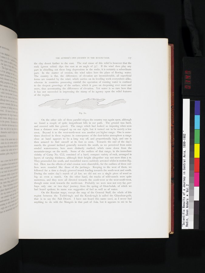
On the other side of these parallel ridges the country was again open, although we found a couple of quite insignificant hills in our path. The ground was hard, and covered with fine gravel. The range which had looked so imposing when seen from a distance now cropped up on our right, but it turned out to be merely a low crest. Beyond it to the west-north-west was another yet higher range. One is sometimes deceived in these regions: in consequence of the dust-laden atmosphere a range close at hand appears to be a long way off, and proportionally high, and one is then amazed to find oneself at its foot so soon. Towards the end of the day's march, the ground inclined generally towards the south, as we perceived from some eroded watercourses, here more distinctly marked, which came down from the mountain-range on the north. Some of the outliers of that range, in the immediate vicinity of Camp No. CLI, consisted of a hard, compact variety of rock, arranged in layers of varying thickness, although their height altogether was not more than 5 m. They proceeded due south, and resembled waves suddenly arrested whilst in motion (fig. 8o). Here too the effects of wind erosion were discernible, for the outlines of these outliers were rounded like those of the jardangs. Keeping to the west of them, we followed for a time a deeply grooved trench leading towards the south-west and south. During the entire day's march of 38 km. we did not see a single piece of wood as big as even a match. On the other hand, the tracks of wild-camels were quite numerous, and they were all directed towards the south-west or the west-south-west, though some went towards the north-east. Probably we were now not very far, perhaps only one or two days' journey, from the spring of Otun-bulak, of which we had heard spoken; its name was suggestive of fuel as well as of water.
On the Russian maps, except the map of the General Staff, the whole of this region between the Tschöl-tagh and the Kuruk-tagh is called the Ghaschun-gobi, that is to say the Salt Desert. I have not heard this name used, as I never had anything to do with the Mongols in that part of Asia, but it appears to mè to be
Fig. 80.
|
Copyright (C) 2003-2019
National Institute of Informatics(国立情報学研究所)
and
The Toyo Bunko(東洋文庫). All Rights Reserved.
本ウェブサイトに掲載するデジタル文化資源の無断転載は固くお断りいたします。