国立情報学研究所 - ディジタル・シルクロード・プロジェクト
| |||||||||
|
| Scientific Results of a Journey in Central Asia, 1899-1902 : vol.2 | |
| 1899-1902年の中央アジア旅行における科学的成果 : vol.2 |
 |
| 地面の断面図。Verticala sections of ground |
486 THE CENTRAL ASIAN DESERTS, SAND-DUNES, AND SANDS.
certain, that the Kum-tagh broadens out towards the west, where in several places it reaches to the wells that dot the desert-route between Abdal and Sa-tscheo. Our route however crossed the desert at a comparatively narrow part, not more than II/2 day's journey across. Farther towards the east-north-east it either tails away altogether or else is connected with the sandy expanse at Tung-huan, which Loczy has described. What the country looks like in the region where this sandy desert comes into contact with the low foot-hills of the Astin-tagh, that is north of the route followed by Littledale, is absolutely unknown; for the Kum-tagh has never been traversed by any traveller except along the line which I am now describing.
After the sandy desert has thus thinned
out and died away, another characteristic and peculiar type of landscape presented itself. The surface, consisting of hard, yellowish grey clay, fell away very gently towards the north. though not in one level, unbro-
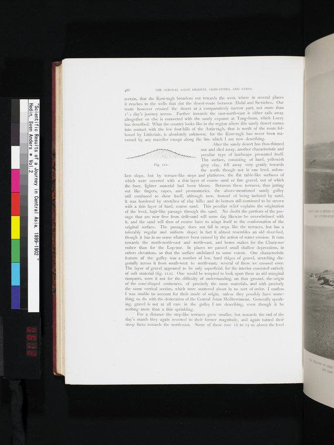
ken slope, • but by terrace-like steps and platforms, the flat table-like surfaces of which were covered with a thin layer of coarse sand or fine gravel, out of which the finer, lighter material had been blown. Between these terraces, thus jutting out like fingers, capes, and promontories, the • above-mentioned sandy gulley still • continued to show itself, although now, instead of being inclosed by sand, it was bordered by stretches of clay hills; and its bottom still continued to be strewn with a thin layer of hard, coarse sand. This peculiar relief explains the origination of the level, bajir-like passage through the sand. No doubt the portions of the passage that are now free from drift-sand will some day likewise be overwhelmed with it, and the sand will then of course have to adapt itself to the conformation of the original surface. The passage does not fall in steps like the terraces, but has a tolerably regular and uniform slope; in fact it almost resembles an old river-bed, though it has in no sense whatever been caused by the action of water erosion. It runs towards the north-north-east and north-east, and hence makes for the Chara-nor rather than for the Lop-nor. In places we passed small shallow depressions, in others elevations, so that the surface undulated to some extent. One characteristic feature of the gulley was a number of low, hard ridges of gravel, stretching diagonally across it from south-west to north-east; several of these . we crossed over. The layer of gravel appeared to be only superficial, for the interior consisted entirely of soft material' (fig. 2 12). One would be tempted to look upon them as old marginal 'ramparts, were it not for the difficulty of understanding, on that ground, the origin of the cone-shaped * eminences, of precisely the same materials, and with precisely the same vertical section, which were scattered about in no sort of order. I confess :I was unable to . account for their mode of origin, unless they possibly have something to do with the desiccation of the Central Asian Mediterranean. Generally speakirig, gravel is not at all rare in the gulley I am describing, even though it be nothing more than a.' thin sprinkling.
For a distance the step-like terraces grew smaller, but towards the end of the day's march they again reverted to their. former magnitude, and again turned their -steep_ faces towards the north-east. - Some of these rose r AO 15 m. • above the level
Fig. 212.
|
Copyright (C) 2003-2019
National Institute of Informatics(国立情報学研究所)
and
The Toyo Bunko(東洋文庫). All Rights Reserved.
本ウェブサイトに掲載するデジタル文化資源の無断転載は固くお断りいたします。