国立情報学研究所 - ディジタル・シルクロード・プロジェクト
| |||||||||
|
| Scientific Results of a Journey in Central Asia, 1899-1902 : vol.2 | |
| 1899-1902年の中央アジア旅行における科学的成果 : vol.2 |
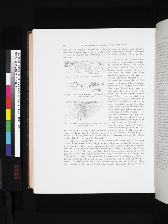 |
| コータン・ダリヤ東の砂漠。THE DESERT EAST OF CHOTAN-DARJA. | |
| コータン・ダリヤ東の、タマリスクとカミッシュのある砂丘。DUNES WITH TAMARISKS AND KAMISCH EAST OF CHOTAN-DARJA. | |
| コータンと・ダリヤケリヤ・ダリヤの間にある砂丘。DUNES BETWEEN THE CHOTAN-DARJA AND THE KERIJA-DARJA. |
568 THE HYPSOMETRICAL RELATIONS OF THE TARIM BASIN.
may also be regarded as sufficient. To have made use of the results of other travellers' determinations of height would only have marred the harmonious character of the map; for the important thing is, not the number of observations, but their
reliability.
the help of certain arithmetrical data,
~,. ✓' r to attempt to convey some idea of
' the surface inclination in East Tur-
kestan. In the majority of cases I
~/ have taken into account only those
points the altitude of which has been directly determined; in other places I
,~;~~~,j,, y~ have resorted to interpolation. With
them simply as straight lines on the
_..•--ate r -
little map to the scale of 1: 3,500,000;
this makes their values of course ver
Y
Fig. 25o. DUNES WITH TAMARISKS AND KAMISCIi rough, and as no account is taken
EAST OF CHOTAN-DARJA• even of the very biggest windings in
the rivers, the distances with which we now have to deal are in one or two
„~ • .~'
µ's cases somewhat shorter than those
 "~ pi
~~ ,% ~~j which I have quoted in earlier parts
, ~~ ~ ~~ of this work and which do take account
,~,h~•;:-~ !ice=
f - - . , ... ~/= of the biggest of the windings. This
does not however in any way affect
j ~'~ the result, for our object is not to
-.• give exact distances, but only to obtain
Fig. 251. DUNES BETWEEN THE CHOTAN-DARJA AND a common standard by which to corn-
THE KERIJA-DARJA. pare the various degrees of steepness
of fall in different parts of the basin.
That is to say, it is gradients, not distances, that we want. Should any inquirer desire the latter data, he will have an excellent opportunity to measure them for himself when my general map on the scale of 1: i,000,000 is ready and published in the atlas which accompanies this work.
When we consider the deepest line in the basin, namely that of the course
of the Tarim, taken from Kaschgar to Kum-tschapghan, we find that in the eastward slope the gradients are not everywhere the same. Sometimes the 20 m. contour-lines lie closer together, sometimes farther apart. ' This might indeed be inferred from the varying velocity, regard being had of course to the windings and to the proportion which the length of the river bears to the distance in a straight line. Thus we always found, throughout our drift down the Tarim, that where the river had for a long time flowed in the same bed and had had sufficient opportunity to develop its • windings on • both sides, the velocity was less than usual, but where the river had deserted an old bed and had recently flung itself into a new one, in
In what follows I propose, with
Fig. 249. THE DESERT EAST OF CHOTAN-DARJA.
|
Copyright (C) 2003-2019
National Institute of Informatics(国立情報学研究所)
and
The Toyo Bunko(東洋文庫). All Rights Reserved.
本ウェブサイトに掲載するデジタル文化資源の無断転載は固くお断りいたします。