国立情報学研究所 - ディジタル・シルクロード・プロジェクト
| |||||||||
|
| Scientific Results of a Journey in Central Asia, 1899-1902 : vol.2 | |
| 1899-1902年の中央アジア旅行における科学的成果 : vol.2 |
 |
| クン・チェケより下流の、イレク川の河岸の森。FOREST ON THE BANKS OF THE ILEK, BELOW KUN-TSCHEKE. |
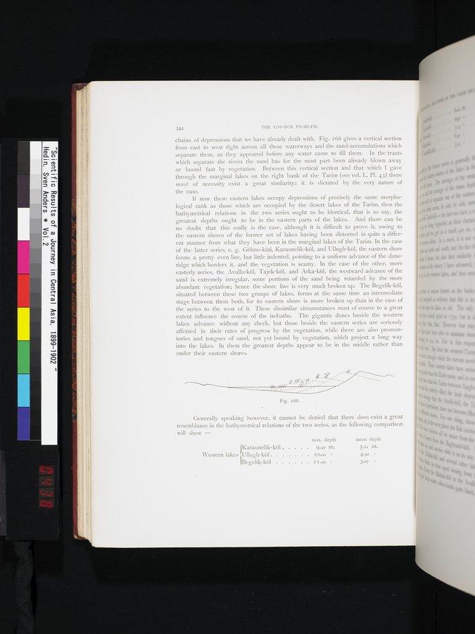
344 THE LOP-NOR PROBLEM.
chains of depressions that we have already dealt with. Fig. i 66 gives a vertical section from east to west right across all these waterways and the sand-accumulations which separate them, as they appeared before any water came to fill them. In the tracts which separate the rivers the sand has for the most part been already blown away or bound fast by vegetation. Between this vertical section and that which I gave through the marginal lakes on the right bank of the Tarim (see vol. I., Pl. 43) there must of necessity exist a great similarity; it is dictated by the very nature of the case.
If now these eastern lakes occupy depressions of precisely the same morphological rank as those which are occupied by the desert lakes of the Tarim, then the bathymetrical relations in the two series ought to be identical, that is to say, the greatest depths ought to be in the eastern parts of the lakes. And there can be no doubt that this really is the case, although it is difficult to prove it, owing to the eastern shores of the former set of lakes having been distorted in quite a different manner from what they have been in the marginal lakes of the Tarim. In the case of the latter series, e. g. Gölme-käti, Karaunelik-köl, and Ullugh-köl, the eastern shore forms a pretty even line, but little indented, pointing to a uniform advance of the dune-ridge which borders it, and the vegetation is scanty. In the case of the other, more easterly series, the Avullu-köl, Tajek-köl, and Arka-köl, the westward advance of the sand is extremely irregular, some portions of the sand being retarded by the more abundant vegetation; hence the shore line is very much broken up. The Begelik-köl, situated between these two groups of lakes, forms at the same time an intermediate stage between them both, for its eastern shore is more broken up than in the case of the series to the west of it. • These dissimilar circumstances must of course to a great extent influence the course of the isobaths. The gigantic dunes beside the western lakes advance without any check, but those beside the eastern series are seriously affected in their rates of progress by the vegetation, while there are also promontories and tongues of sand, not yet bound by vegetation, which project a long way into the lakes. In them the greatest depths appear to be in the middle rather than under their eastern shores.
Fig. 168.
Generally speaking however, it cannot be denied that there does exist a great resemblance in the bathymetrical relations of the two series, as the following comparison will show —
max. depth mean depth
J 9.40 m. 5.61 m.
Western lakes Ullugh-köl 1 o 00 » 4.92 »
(Begelik-köl I I 00 » 3.67 »
|
Copyright (C) 2003-2019
National Institute of Informatics(国立情報学研究所)
and
The Toyo Bunko(東洋文庫). All Rights Reserved.
本ウェブサイトに掲載するデジタル文化資源の無断転載は固くお断りいたします。