国立情報学研究所 - ディジタル・シルクロード・プロジェクト
| |||||||||
|
| Scientific Results of a Journey in Central Asia, 1899-1902 : vol.2 | |
| 1899-1902年の中央アジア旅行における科学的成果 : vol.2 |
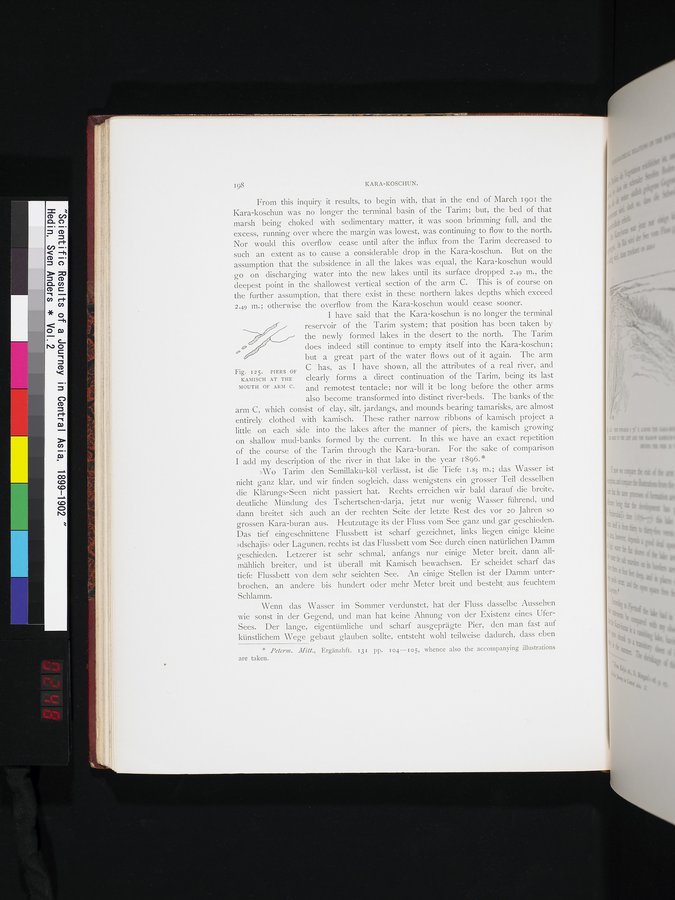 |
| 支流Cの河口にあるカミッシュでできた防波堤。PIERS OF KAMISCH AT THE MOUTH OF ARM C. |
198 KARA-KOSCHUN.
From this inquiry it results, to begin with, that in the end of March 190I the Kara-koschun was no longer the terminal basin of the Tarim; but, the bed of that marsh being choked with sedimentary matter, it was soon brimming full, and the excess, running over where the margin was lowest, was continuing to flow to the north. Nor would this overflow cease until after the influx from the Tarim decreased to such an extent as to cause a considerable drop in the Kara-koschun. But on the assumption that the subsidence in all the lakes was equal, the Kara-koschun would go on discharging water into the new lakes until its surface dropped 2.49 m., the deepest point in the shallowest vertical section of the arm C. This is of course on the further assumption, that there exist in these northern lakes depths which exceed 2.49 m.; otherwise the overflow from the Kara-koschun would cease sooner.
I have said that the Kara-koschun is no longer the terminal
reservoir of the Tarim system; that position has been taken by the newly formed lakes in the desert to the north. The Tarim does indeed still continue to empty itself into the Kara-koschun; but a great part of the water flows out of it again. The arm
Fig. 125. PIERS OF C has, as I have shown, all the attributes of a real river, and
KAMISCH AT THE clearly forms a direct continuation of the Tarim, being its last
MOUTH OF ARM C. and remotest tentacle; nor will it be long before the other arms also become transformed into distinct river-beds. The banks of the arm C, which consist of clay, silt, jardangs, and mounds bearing tamarisks, are almost entirely clothed with kamisch. These rather narrow ribbons of kamisch project a little on each side into the lakes after the manner of piers, the kamisch growing on shallow mud-banks formed by the current. In this we have an exact repetition of the course of the Tarim through the Kara-buran. For the sake of comparison I add my description of the river in that lake in the year 1896..
»Wo Tarim den Semillaku-köl verlässt, ist die Tiefe 1.85 m.; das Wasser ist nicht ganz klar, und wir finden sogleich, dass wenigstens ein grosser Teil desselben die Klärungs-Seen nicht passiert hat. Rechts erreichen wir bald darauf die breite, deutliche Mündung des Tschertschen-darja, jetzt nur wenig Wasser führend, und dann breitet sich auch an der rechten Seite der letzte Rest des vor 20 Jahren so grossen Kara-buran aus. Heutzutage its der Fluss vom See ganz und gar geschieden. Das tief eingeschnittene Flussbett ist scharf gezeichnet, links liegen einige kleine »dschajis» oder Lagunen, rechts ist das Flussbett vom See durch einen natürlichen Damm geschieden. Letzerer ist sehr schmal, anfangs nur einige Meter breit, dann allmählich breiter, und ist überall mit Kamisch bewachsen. Er scheidet scharf das tiefe Flussbett von dem sehr seichten See. An einige Stellen ist der Damm unterbrochen, an andere bis hundert oder mehr Meter breit und besteht_ aus feuchtem Schlamm.
Wenn das Wasser im Sommer verdunstet, hat der Fluss dasselbe Aussehen wie sonst in der Gegend, und man hat keine Ahnung von der Existenz eines Ufer-Sees. Der lange, eigentümliche und scharf ausgeprägte Pier, den man fast auf künstlichem Wege gebaut glauben sollte, entsteht wohl teilweise dadurch, dass eben
* Peterm. Mitt., Ergänzhft. 131 pp. I04.-105, whence also the accompanying illustrations are taken.
|
Copyright (C) 2003-2019
National Institute of Informatics(国立情報学研究所)
and
The Toyo Bunko(東洋文庫). All Rights Reserved.
本ウェブサイトに掲載するデジタル文化資源の無断転載は固くお断りいたします。