the sand together over a not inconsiderable area. What must have happened is illustrated in fig. 159. The upper figure shows a section of the desert from northeast to south-west at the epoch of the ancient Lop-nor. The lower figure depicts what must have happened with regard to the arrangement of the sand after the same belt of country was cut through by two river-beds in a direction almost at right angles to that of the prevailing wind. The reason the high dunes on the right bank of the Tarim plunge vertically down into the river is the continual straining of the stream towards the south-west, the consequence being that ity.gradually washes away the sand at the base of the dunes.
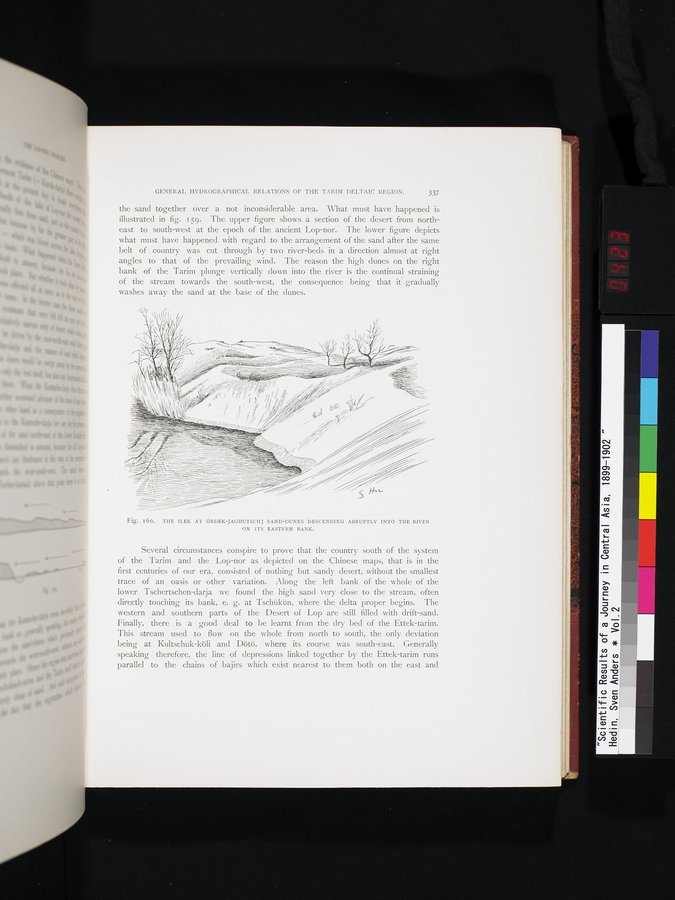
Fig. I6O. THE ILEK AT ÖRDEK-JAGHUTSCH; SAND-DUNES DESCENDING ABRUPTLY INTO THE RIVER
ON ITS EASTERN BANK.
Several circumstances conspire to prove that the country south of the system of the Tarim and the Lop-nor as depicted on the Chinese maps, that is in the first centuries of our era, consisted of nothing but sandy desert, without the smallest trace of an oasis or other variation. Along the left bank of the whole of the lower Tschertschen-darja we found the high sand very close to the stream, often directly touching its bank, e. g. at Tschükün, where the delta proper begins. The western and southern parts of the Desert of Lop are still filled with drift-sand. Finally, there is a good deal to be learnt from the dry bed of the Ettek-tarim. This stream used to flow on the whole from north to south, the only deviation being at Kultschuk-köli and Dötö, where its course was south-east. Generally speaking therefore, the line of depressions linked together by the Ettek-tarim runs parallel to the chains of bajirs which exist nearest to them both on the east and