国立情報学研究所 - ディジタル・シルクロード・プロジェクト
| |||||||||
|
| Scientific Results of a Journey in Central Asia, 1899-1902 : vol.2 | |
| 1899-1902年の中央アジア旅行における科学的成果 : vol.2 |
 |
472 THE CENTRAL ASIAN DESERTS, SAND-DUNES, AND SANDS.
travelled by this same road in 1893 when proceeding from the Lop-nor to the Kukunor. Some of the names on his map are corrupt, though they can be easily recognised. Two are different from those given by Tokta Ahun. Littledale's itinerary, going from east to west, is as follows: Nanambal (a corruption of the Mohammedan Chan-ambal, which again is a corruption of the Mongolian Anambar), Kong-lugu, Pushan-saj, Khoya Suga-bulak (= Chodscha-schukur), Kum-bulak, Yash-kul (= Taschköl ?), Galechan-bulak, Jo-bulak, Kosh-bulak, Jan-bulak (= Similanu-Dschan-bulaghi), Tadlak-bulak (= Tatlik-bulak, below Basch-kurghan), Kurghan-bulak, Ashtshi-bulak (= Atschik-bulak), Tuna-chorak(?), and Abdal. In vol. III I shall have occasion to discuss this road again.
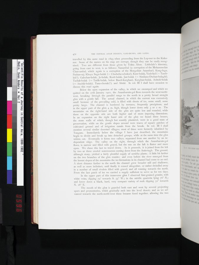
Below the open expansion of the valley, in which we encamped and which we quitted on the 27th January 190 r, the Anambaruin-gol flows towards the west-northwest, breaking through the parallel range to the north in a pretty broad straight glen with a gentle fall. The actual channel, in which the current was excessively small because of the prevailing cold, is filled with sheets of ice, some small, some pretty large. The channel is bordered by terraces, frequently precipitous, and in the upper part of the glen 4 m. high, though lower down only 3 or 2 m. The mountains on the right-hand side of the glen are quite low and rounded, while those on the opposite side are both higher and of more imposing dimensions. In an expansion on the right hand side of the glen we found three houses, the stone walls of which, though but scantily plastered, were in a good state of preservation, while on the gentle slopes around were traces of square patches of cultivated ground and of irrigation canals from the brook. In vol. III I shall mention several similar deserted villages; most of these were formerly inhabited by Tungans. Immediately below the village I have just described, the mountains begin to divide and break up into detached groups, while at the same time the glen widens out. Eventually it forms two valleys, separated from one another by an independent ridge. The valley on the right, through which the Anambaruin-gol flows, is narrow and filled with gravel, but the one on the left is flatter and more open. We chose this last to travel down. As it proceeds, it is joined from the left by two or three eroded watercourses coming down from the Astin-tagh. The ground, although stony, yielded a fairly plentiful supply of scrubby plants. A little bit farther on the two branches of the glen reunite; and even before the river emerged from the lowest slopes of the mountains the ice-formations in its channel had come to an end. A short distance farther to the north the channel grew broader still and shallower, as well as more indistinct, until finally it ceased altogether, or rather dwindled away in a number of small rivulets filled with gravel, and all running towards the north. From the last patch of ice we carried a supply sufficient to serve us for ten days.
In the upper part of this transverse glen I observed fine-grained granite, with white veins, dipping 79° towards S. 55° W.; in the middle quartzite lying 76° N.; and lower down a black, hard, very compact variety of rock dipping 52° towards N. 28° E.
The mouth of the glen is guarded both east and west by several projecting spurs and promontories, which gradually melt into the level desert; and as we advanced towards the north-north-west these became fused together, allowing the two
|
Copyright (C) 2003-2019
National Institute of Informatics(国立情報学研究所)
and
The Toyo Bunko(東洋文庫). All Rights Reserved.
本ウェブサイトに掲載するデジタル文化資源の無断転載は固くお断りいたします。