National Institute of Informatics - Digital Silk Road Project
| |||||||||
|
| Scientific Results of a Journey in Central Asia, 1899-1902 : vol.1 |
 |
| THE STERN OF A FERRY-BOAT CROSSING THE JARKENT-DARJA. |
IO THE TARIM RIVER.
of sand and dust, and the track was easy to follow. On our left we had low sanddunes overgrown with vegetation; this is called kara-kum or »black sand». On our right the sand is barren; this is called ak-kum or »white sand». Between these two expanses of sand the road ran along a narrow strip of steppe, a sort of continuation of the chain of oases watered by the Kan-arik. At length however vegetation grew more abundant, though it consisted only of tamarisks, dead as well as living, growing on their characteristic conical pedestals, and thinly scattered toghraks or poplars, with short stumpy stems, several of these also in a state of decay. After crossing a belt of sand with continuous and regularly formed sand-dunes, which consistently turned their steep faces towards the east and south-east, we approached the caravanserai of Lenger. This consisted of two small huts, overhung by poplars, a köl or reservoir, and a canal coming from the Jarkent-darja, which is said to leave the left bank of this river about 6 potaj above Lajlik. We formed our camp, which was to be the starting-point of our long journey down the river, about half an hour north of the station (vrlang) of Lajlik.
CHAPTER II.
THE JARKENT-DARJA FROM LAJLIK TO KURUK-ASTI.
After this short introduction, which has carried us from Kaschgar to the threshold of the region that is to be described in the course of the present volume, I now pass to an account of the Jarkent-darja, or, as the river is called after its confluence with the Ak-su-darja, the Tarim.
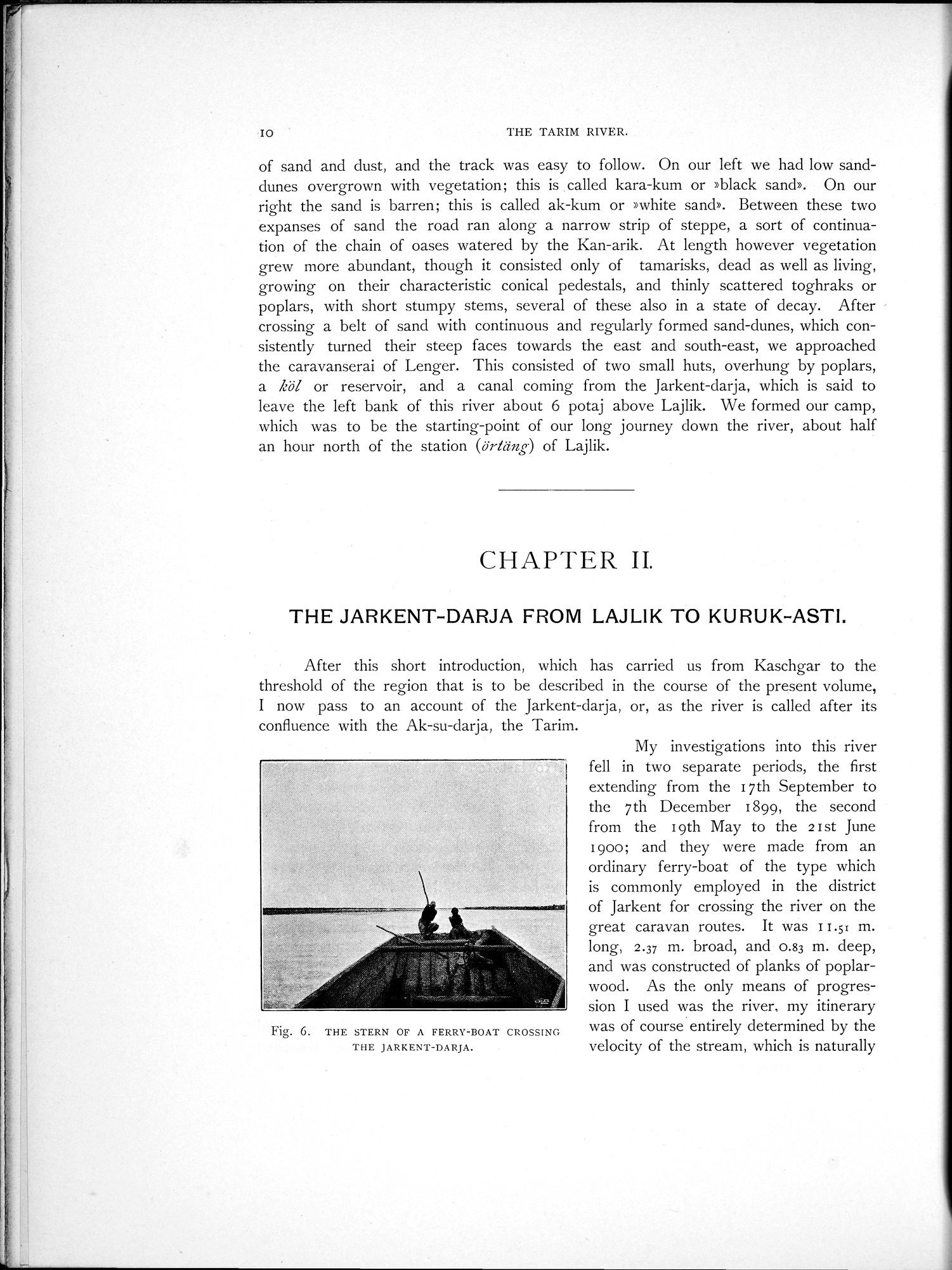
Fig. 6. THE STERN OF A FERRY-BOAT CROSSING THE JARKENT-DARJA.
My investigations into this river fell in two separate periods, the first extending from the 17th September to the 7th December 1899, the second from the 19th May to the 2 I st June 1900; and they were made from an ordinary ferry-boat of the type which is commonly employed in the district of Jarkent for crossing the river on the great caravan routes. It was I Ls' m. long, 2.37 m. broad, and 0.83 m. deep, and was constructed of planks of poplar-wood. As the only means of progression I used was the river, my itinerary was of course entirely determined by the velocity of the stream, which is naturally
|
Copyright (C) 2003-2019 National Institute of Informatics and The Toyo Bunko. All Rights Reserved.