National Institute of Informatics - Digital Silk Road Project
| |||||||||
|
| Scientific Results of a Journey in Central Asia, 1899-1902 : vol.1 |
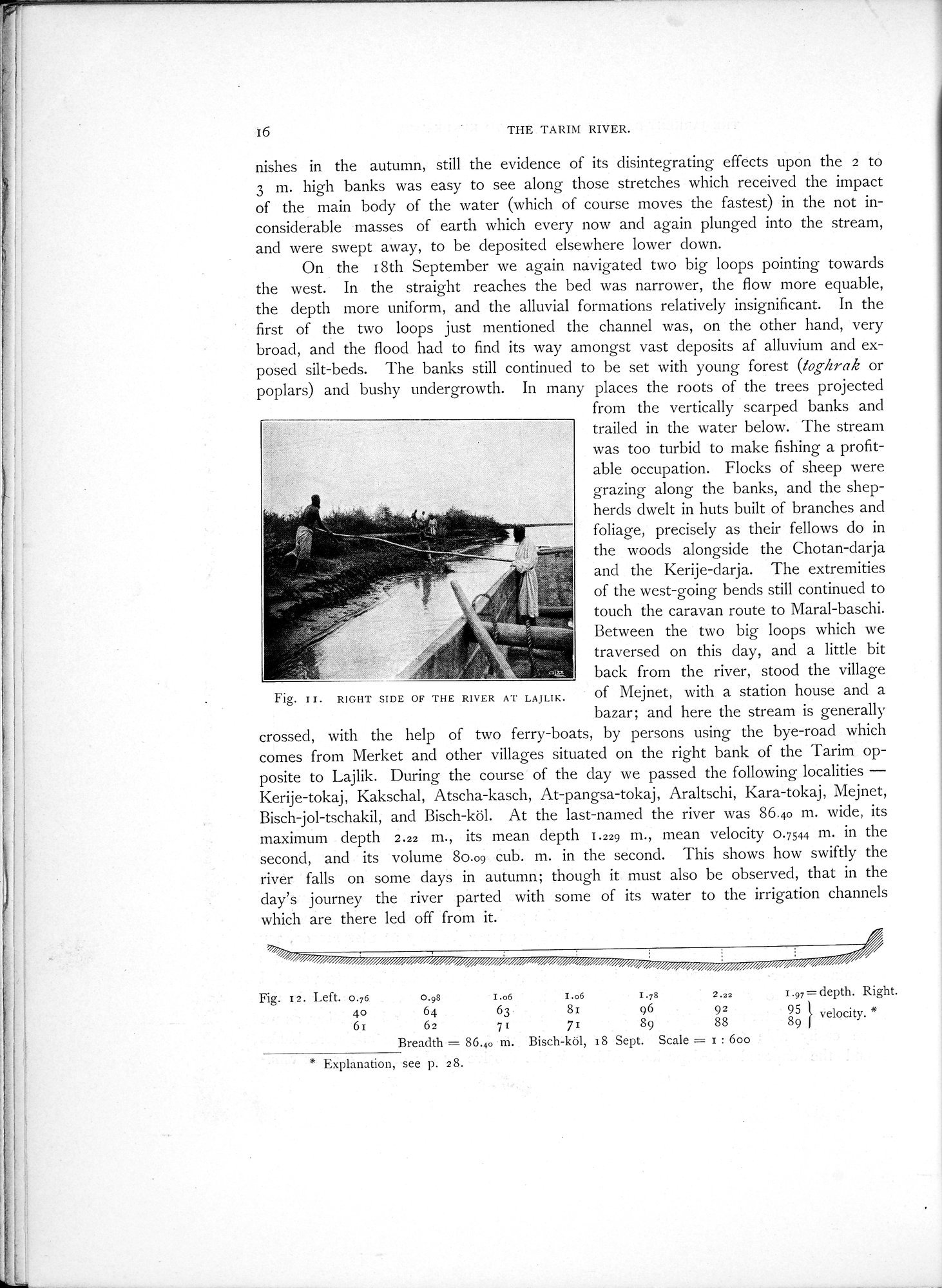 |
| RIGHT SIDE OF THE RIVER AT LAJLIK. | |
| Bisch-köl, 18 Sept. |
i6
THE TARIM RIVER.
nishes in the autumn, still the evidence of its disintegrating effects upon the 2 to 3 m. high banks was easy to see along those stretches which received the impact of the main body of the water (which of course moves the fastest) in the not inconsiderable masses of earth which every now and again plunged into the stream, and were swept away, to be deposited elsewhere lower down.
On the 18th September we again navigated two big loops pointing towards the west. In the straight reaches the bed was narrower, the flow more equable, the depth more uniform, and the alluvial formations relatively insignificant. In the first of the two loops just mentioned the channel was, on the other hand, very broad, and the flood had to find its way amongst vast deposits of alluvium and exposed silt-beds. The banks still continued to be set with young forest (toghrak or poplars) and bushy undergrowth. In many places the roots of the trees projected
from the vertically scarped banks and trailed in the water below. The stream was too turbid to make fishing a profitable occupation. Flocks of sheep were grazing along the banks, and the shepherds dwelt in huts built of branches and foliage, precisely as their fellows do in the woods alongside the Chotan-darja
and the Kerije-darja. The extremities
of the west-going bends still continued to touch the caravan route to Maral-baschi. Between the two big loops which we traversed on this day, and a little bit back from the river, stood the village
Fig. II. RIGHT SIDE OF THE RIVER AT LAJLIK. of Mejnet, with a station house and a
bazar; and here the stream is generally crossed, with the help of two ferry-boats, by persons using the bye-road which comes from Merket and other villages situated on the right bank of the Tarim opposite to Lajlik. During the course of the day we passed the following localities — Kerije-tokaj, Kakschal, Atscha-kasch, At-pangsa-tokaj, Araltschi, Kara-tokaj, Mejnet, Bisch-jol-tschakil, and Bisch-köl. At the last-named the river was 86.40 m. wide, its maximum depth 2.22 m., its mean depth 1.229 m., mean velocity 0.7544 m. in the second, and its volume 80.09 cub. m. in the second. This shows how swiftly the river falls on some days in autumn; though it must also be observed, that in the day's journey the river parted with some of its water to the irrigation channels which are there led off from it.
Fig. I2. Left. 0.76
40 GI
I.97 = depth. Right. 95 } velocity.
8
9
0.98 I.o6 I.o6 I.78 2.22
64 63. 81 96 92
62 71 71 89 88
Breadth = 86.40 rn. Bisch-köl, 18 Sept. Scale = 1 : 60o
* Explanation, see p. 28.
|
Copyright (C) 2003-2019 National Institute of Informatics and The Toyo Bunko. All Rights Reserved.