National Institute of Informatics - Digital Silk Road Project
| |||||||||
|
| Scientific Results of a Journey in Central Asia, 1899-1902 : vol.1 |
 |
| THE BLACK SHOWS THE SOFTEST PARTS OF THE DUNE-ACCUMULATIONS AND BAJIRS. |
THE BAJIRS. 317
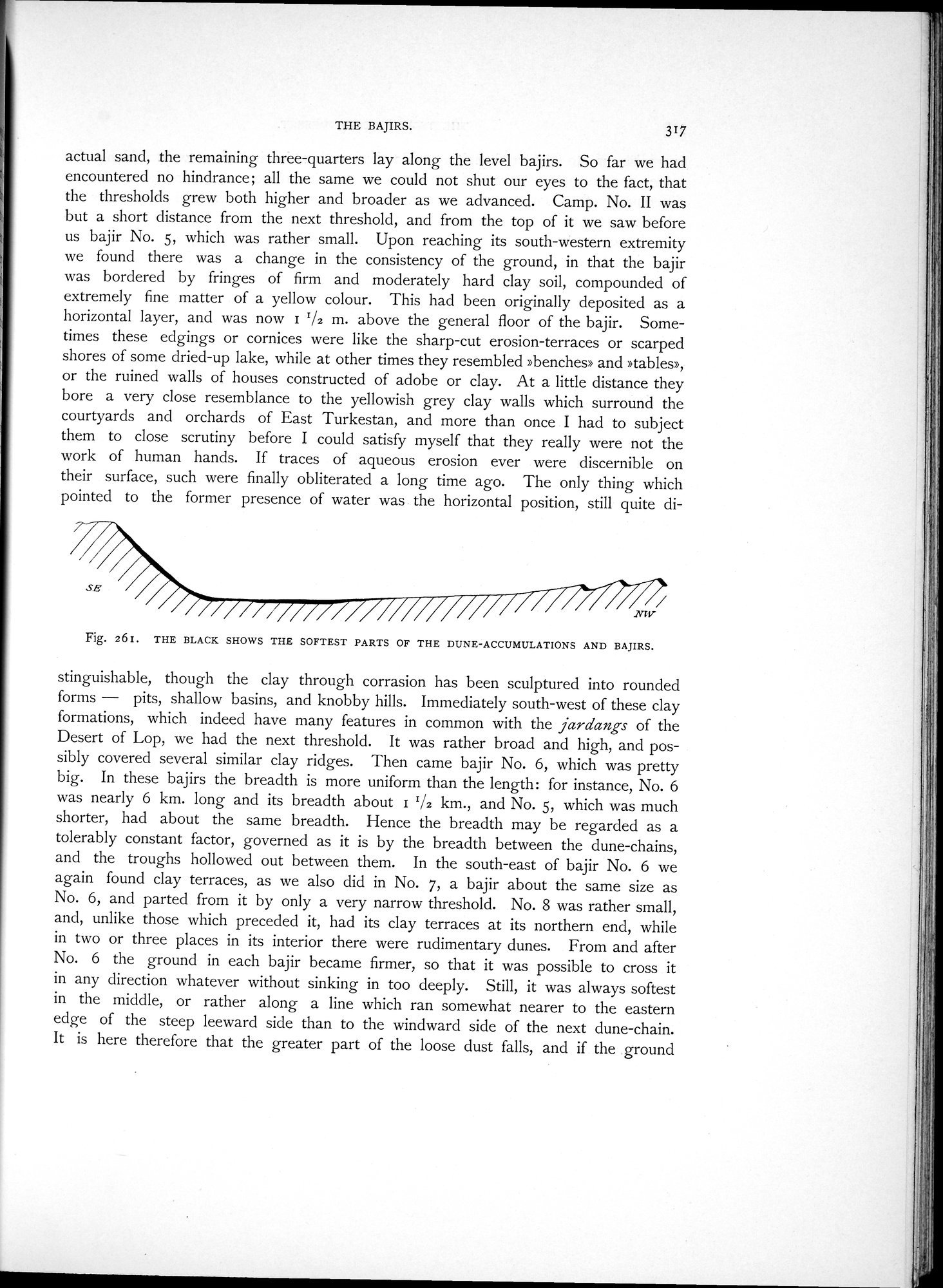
actual sand, the remaining three-quarters lay along the level bajirs. So far we had encountered no hindrance; all the same we could not shut our eyes to the fact, that the thresholds grew both higher and broader as we advanced. Camp. No. II was but a short distance from the next threshold, and from the top of it we saw before us bajir No. 5, which was rather small. Upon reaching its south-western extremity we found there was a change in the consistency of the ground, in that the bajir was bordered by fringes of firm and moderately hard clay soil, compounded of extremely fine matter of a yellow colour. This had been originally deposited as a horizontal layer, and was now i '/2 m. above the general floor of the bajir. Sometimes these edgings or cornices were like the sharp-cut erosion-terraces or scarped shores of some dried-up lake, while at other times they resembled »benches» and »tables», or the ruined walls of houses constructed of adobe or clay. At a little distance they bore a very close resemblance to the yellowish grey clay walls which surround the courtyards and orchards of East Turkestan, and more than once I had to subject them to close scrutiny before I could satisfy myself that they really were not the work of human hands. If traces of aqueous erosion ever were discernible on their surface, such were finally obliterated a long time ago. The only thing which pointed to the former presence of water was the horizontal position, still quite di-
Fig. 261. THE BLACK SHOWS THE SOFTEST PARTS OF THE DUNE-ACCUMULATIONS AND BAJIRS.
stinguishable, though the clay through corrasion has been sculptured into rounded forms — pits, shallow basins, and knobby hills. Immediately south-west of these clay formations, which indeed have many features in common with the jardangs of the Desert of Lop, we had the next threshold. It was rather broad and high, and possibly covered several similar clay ridges. Then came bajir No. 6, which was pretty big. In these bajirs the breadth is more uniform than the length: for instance, No. 6 was nearly 6 km. long and its breadth about 11/2 km., and No. 5, which was much shorter, had about the same breadth. Hence the breadth may be regarded as a tolerably constant factor, governed as it is by the breadth between the dune-chains, and the troughs hollowed out between them. In the south-east of bajir No. 6 we again found clay terraces, as we also did in No. 7, a bajir about the same size as No. 6, and parted from it by only a very narrow threshold. No. 8 was rather small, and, unlike those which preceded it, had its clay terraces at its northern end, while in two or three places in its interior there were rudimentary dunes. From and after No. 6 the ground in each bajir became firmer, so that it was possible to cross it in any direction whatever without sinking in too deeply. Still, it was always softest in the middle, or rather along a line which ran somewhat nearer to the eastern edge of the steep leeward side than to the windward side of the next dune-chain. It is here therefore that the greater part of the loose dust falls, and if the ground
SE
|
Copyright (C) 2003-2019 National Institute of Informatics and The Toyo Bunko. All Rights Reserved.