National Institute of Informatics - Digital Silk Road Project
| |||||||||
|
| Scientific Results of a Journey in Central Asia, 1899-1902 : vol.1 |
 |
| A RELATIVELY OPEN PART OF THE »TSCHAPGHAN» OF SUJI-SARIK-KÖL. |
THE ARKA-KÖL, TAJEK-KÖL, KARA-KOL, ETC. 485
stated, throughout the whole of the country, but while that which alights upon dry land is whirled up again by the next storm, that which drops amongst the kamisch remains immovable. Nay more, those strata of the atmosphere which sweep through the kamisch undoubtedly discharge amongst it a quantity of the matter with which they are laden, and which consequently contributes to the »shallowing» of the lake-basin into which it settles. The dissimularity between land and water in this respect is one of the most important of the factors which co-operate to produce the incessant changes going on in that region, a dissimularity which, as we shall subsequently find, is especially marked in the Desert of Lop. While matter is being constantly abstracted from the land surfaces, it is simultaneously just as unceasingly being accumulated in the water areas. In other words, it is another form of the levelling work performed by the agency of the wind.
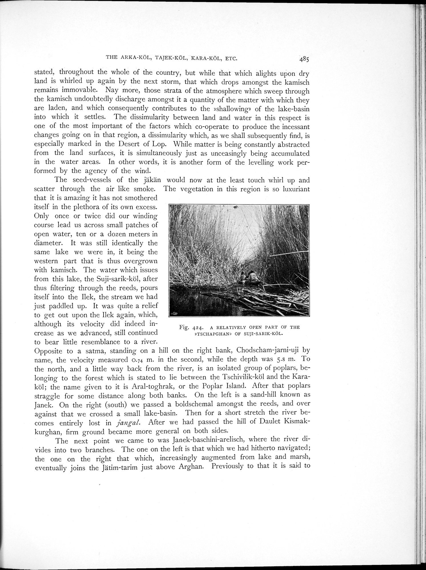
The seed-vessels of the jäkän would now at the least touch whirl up and scatter through the air like smoke. The vegetation in this region is so luxuriant
that it is amazing it has not smothered itself in the plethora of its own excess. Only once or twice did our winding course lead us across small patches of open water, ten or a dozen meters in diameter. It was still identically the same lake we were in, it being the western part that is thus overgrown
with kamisch. The water which issues 2
from this lake, the Suji-sarik-köl, after thus filtering through the reeds, pours itself into the Ilek, the stream we had just paddled up. It was quite a relief to get out upon the Ilek again, which, although its velocity did indeed increase as we advanced, still continued to bear little resemblance to a river.
Opposite to a satma, standing on a hill on the right bank, Chodscham-jarni-uji by name, the velocity measured 0.74 m. in the second, while the depth was 5.8 m. To the north, and a little way back from the river, is an isolated group of poplars, belonging to the forest which is stated to lie between the Tschivilik-köl and the Karaköl; the name given to it is Aral-toghrak, or the Poplar Island. After that poplars straggle for some distance along both banks. On the left is a sand-hill known as Janek. On the right (south) we passed a boldschemal amongst the reeds, and over against that we crossed a small lake-basin. Then for a short stretch the river becomes entirely lost in jangal. After we had passed the hill of Daulet Kismakkurghan, firm ground became more general on both sides.
The next point we came to was Janek-baschini-arelisch, where the river divides into two branches. The one on the left is that which we had hitherto navigated; the one on the right that which, increasingly augmented from lake and marsh, eventually joins the Jätim-tarim just above Arghan. Previously to that it is said to
Fig. 424. A RELATIVELY OPEN PART OF THE »TSCHAPGHAN» OF SUJI-SARIK-KöL.
|
Copyright (C) 2003-2019 National Institute of Informatics and The Toyo Bunko. All Rights Reserved.