National Institute of Informatics - Digital Silk Road Project
| |||||||||
|
| Scientific Results of a Journey in Central Asia, 1899-1902 : vol.1 |
 |
| PREPARING OUR FERRY-BOAT AT LAJLIK. |
THE JARKENT-DARJA FROM I.AJLIK TO KURUK-ASTI. 13
that the one on the right carried a volume of 70.6 cub. m. in the second, and had a mean depth of 2.03 m. and a mean velocity of 0.846 m. in the second; that the middle section had 23.915 cub. m., with a mean depth of 0.53 m. and a mean velocity of 0.893 m. in the second ; while in the left-hand section the volume amounted to 3.753 cub. m., with a mean depth of 0.34 in. and a mean velocity of 0.24 m. Thus, while the stream was decidedly shallow next the left bank, its maximum depth, under the right bank, amounted to 2.74 m.
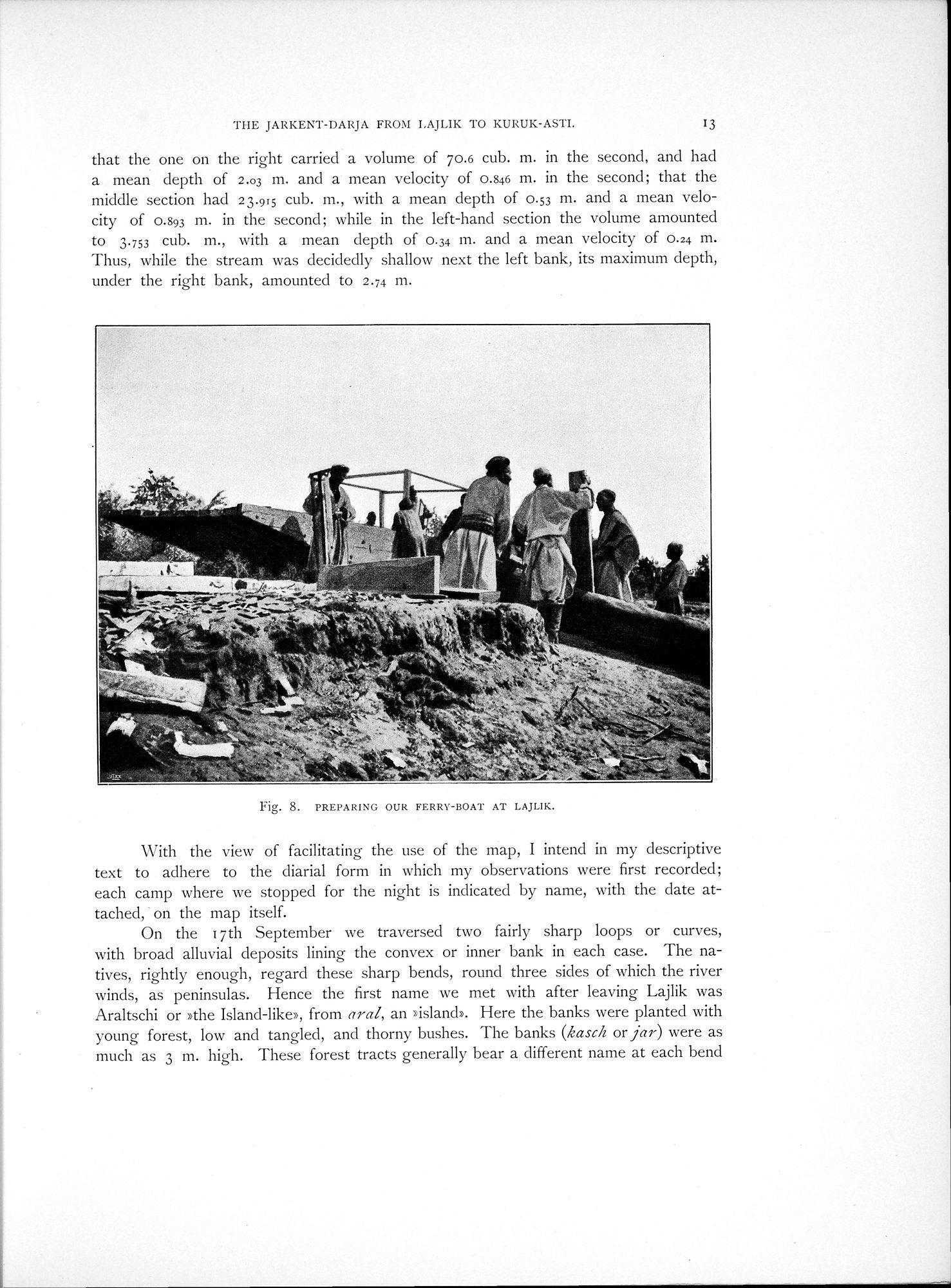
Fig. 8. PREPARING OUR FERRY-BOAT AT LAJLIK.
With the view of facilitating the use of the map, I intend in my descriptive text to adhere to the diarial form in which my observations were first recorded; each camp where we stopped for the night is indicated by name, with the date attached, • on the map itself.
On the 17th September we traversed two fairly sharp loops or curves, with broad alluvial deposits lining the convex or inner bank in each case. The natives, rightly enough, regard these sharp bends, round three sides of which the river winds, as peninsulas. Hence the first name we met with after leaving Lajlik was Araltschi or »the Island-like>, from aral, an > island>. Here the banks were planted with young forest, low and tangled, and thorny bushes. The banks (kasch or jar) were as much as 3 m. high. These forest tracts generally bear a different name at each bend
|
Copyright (C) 2003-2019 National Institute of Informatics and The Toyo Bunko. All Rights Reserved.