National Institute of Informatics - Digital Silk Road Project
| |||||||||
|
| Scientific Results of a Journey in Central Asia, 1899-1902 : vol.1 |
 |
| VERTICAL SECTION OF THE SOUTHERN PART OF THE ETTEK-TARIM. |
412 THE TSCHERTSCHEN DESERT.
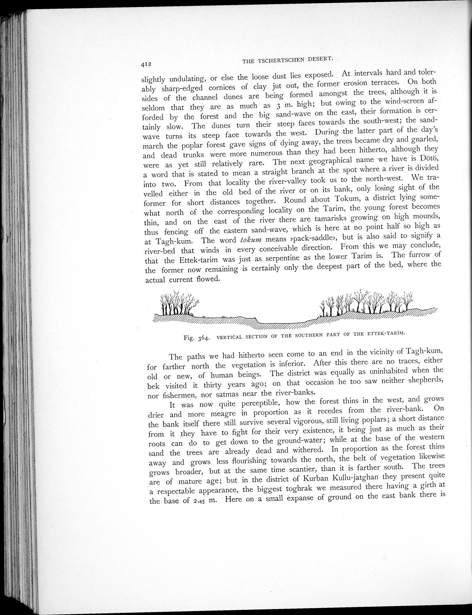
slightly undulating, or else the loose dust lies exposed. At intervals hard and tolerably sharp-edged cornices of clay jut out, the former erosion terraces. On both sides of the channel dunes are being formed amongst the trees, although it is seldom that they are as much as 3 m. high; but owing to the wind-screen afforded by the forest and the big sand-wave on the east, their formation is certainly slow. The dunes turn their steep faces towards the south-west; the sand-wave turns its steep face towards the west. During the latter part of the day's march the poplar forest gave signs of dying away, the trees became dry and gnarled, and dead trunks were more numerous than they had been hitherto, although they were as yet still relatively rare. The next geographical name we have is Dötö, a word that is stated to mean a straight branch at the spot where a river is divided into two. From that locality the river-valley took us to the north-west. We travelled either in the old bed of the river or on its bank, only losing sight of the former for short distances together. Round about Tokum, a district lying somewhat north of the corresponding locality on the Tarim, the young forest becomes thin, and on the east of the river there are tamarisks growing on high mounds, thus fencing off the eastern sand-wave, which is here at no point half so high as at Tagh-kum. The word tokum means »pack-saddle», but is also said to signify a river-bed that winds in every conceivable direction. From this we may conclude, that the Ettek-tarim was just as serpentine as the lower Tarim is. The furrow of the former now remaining is certainly only the deepest part of the bed, where the actual current flowed.
Fig. 364. VERTICAL SECTION OF THE SOUTHERN PART OF THE ETTER-TARIM.
The paths we had hitherto seen come to an end in the vicinity of Tagh-kum, for farther north the vegetation is inferior. After this there are no traces, either old or new, of human beings. The district was equally as uninhabited when the bek visited it thirty years ago; on that occasion he too saw neither shepherds, nor fishermen, nor satmas near the river-banks.
It was now quite perceptible, how the forest thins in the west, and grows drier and more meagre in proportion as it recedes from the river-bank. On the bank itself there still survive several vigorous, still living poplars; a short distance from it ,they have to fight for their very existence, it being just as much as their roots can do to get down to the ground-water ; while at the base of the western sand the trees are already dead and withered. In proportion as the forest thins away and grows less flourishing towards the north, the belt of vegetation likewise grows broader, but at the same time scantier, than it is farther south. The trees are of mature age; but in the district of Kurban Kullu-jatghan they present quite a respectable appearance, the biggest toghrak we measured there having a girth at the base of 2.45 m. Here on a small expanse of ground on the east bank there is
|
Copyright (C) 2003-2019 National Institute of Informatics and The Toyo Bunko. All Rights Reserved.