National Institute of Informatics - Digital Silk Road Project
| |||||||||
|
| Scientific Results of a Journey in Central Asia, 1899-1902 : vol.1 |
 |
| TSCHÖL-KÖL LOOKING S.S.E. FROM ITS NORTHERNMOST PART. | |
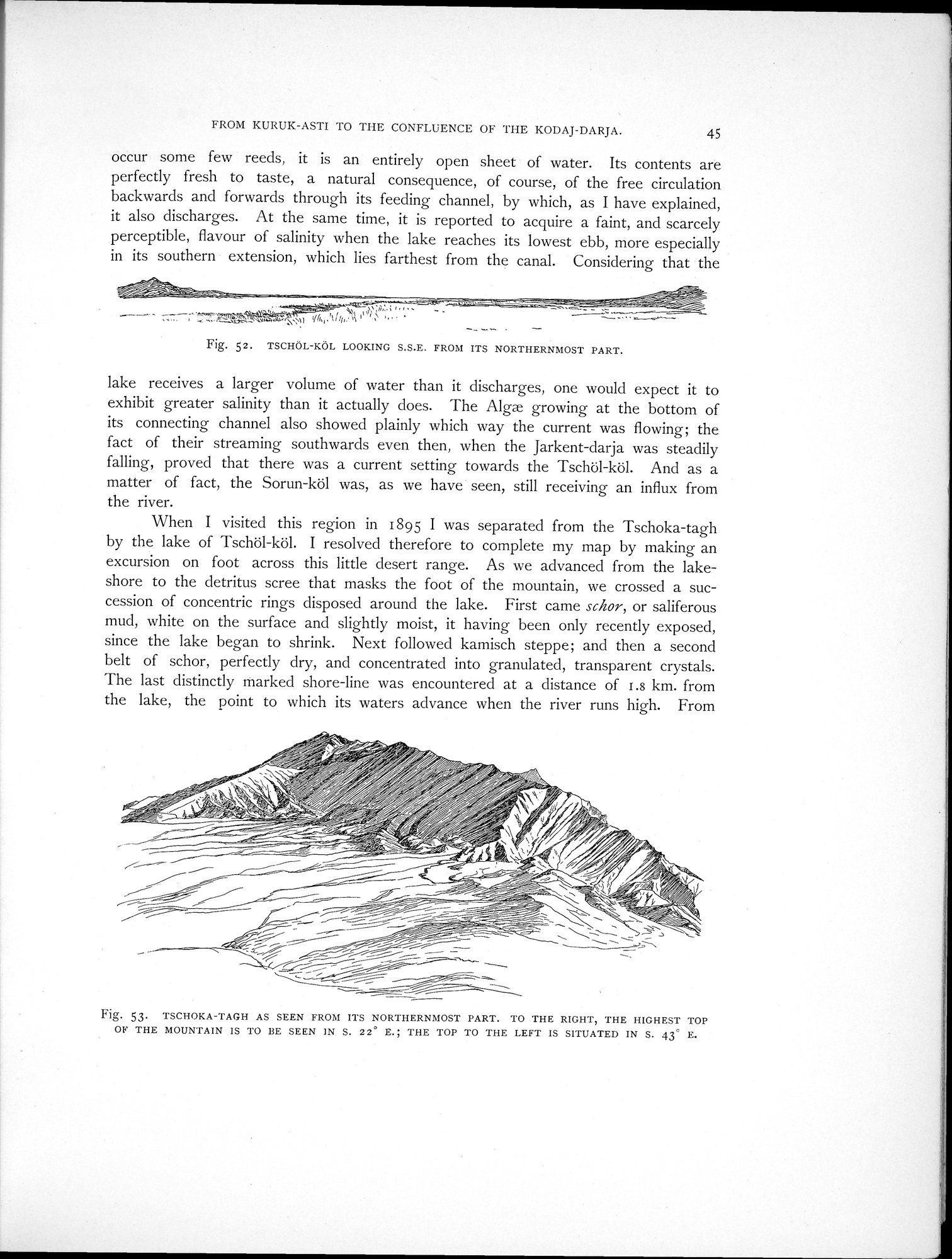
| TSCHOKA-TAGH AS SEEN FROM ITS NORTHERNMOST PART. TO THE RIGHT, THE HIGHEST TOP OF THE MOUNTAIN IS TO BE SEEN IN S. 22° E.; THE TOP TO THE LEFT IS SITUATED IN S. 43° E. |
FROM KURUK-ASTI TO THE CONFLUENCE OF THE KODAJ-DARJA. 45
occur some few reeds, it is an entirely open sheet of water. Its contents are perfectly fresh to taste, a natural consequence, of course, of the free circulation backwards and forwards through its feeding channel, by which, as I have explained, it also discharges. At the same time, it is reported to acquire a faint, and scarcely perceptible, flavour of salinity when the lake reaches its lowest ebb, more especially in its southern extension, which lies farthest from the canal. Considering that the
Fig. 52. TSCHÖL—KÖL LOOKING S.S.E. FROM ITS NORTHERNMOST PART.
lake receives a larger volume of water than it discharges, one would expect it to exhibit greater salinity than it actually does. The Alga growing at the bottom of its connecting channel also showed plainly which way the current was flowing; the fact of their streaming southwards even then, when the Jarkent-darja was steadily falling, proved that there was a current setting towards the Tschöl-köl. And as a matter of fact, the Sorun-köl was, as we have seen, still receiving an influx from the river.
When I visited this region in i 895 I was separated from the Tschoka-tagh by the lake of Tschöl-köl. I resolved therefore to complete my map by making an excursion on foot across this little desert range. As we advanced from the lake-shore to the detritus scree that masks the foot of the mountain, we crossed a succession of concentric rings disposed around the lake. First came schor, or saliferous mud, white on the surface and slightly moist, it having been only recently exposed, since the lake began to shrink. Next followed kamisch steppe; and then a second belt of schor, perfectly dry, and concentrated into granulated, transparent crystals. The last distinctly marked shore-line was encountered at a distance of i .8 km. from the lake, the point to which its waters advance when the river runs high. From
w .._.
,~
..~ ~-k~•.cl~n..,,~_ y1 r//r,r.rlrr~rr~~, r~~~r
--~uc~— ~`,
- ~}
Fig. 53. TSCHOKA—TAGH AS SEEN FROM ITS NORTHERNMOST PART. TO THE RIGHT, THE HIGHEST TOP OF THE MOUNTAIN IS TO BE SEEN IN S. 22° E.; THE TOP TO THE LEFT IS SITUATED IN S. 43° E.
|
Copyright (C) 2003-2019 National Institute of Informatics and The Toyo Bunko. All Rights Reserved.