National Institute of Informatics - Digital Silk Road Project
| |||||||||
|
| Scientific Results of a Journey in Central Asia, 1899-1902 : vol.1 |
 |
| A filled bajir | |
| Layers of sediment along the bottom of a lake. |
THE TOGHRAKLIK-KÖL AND THE KARAUNELIK-KÖL. 263
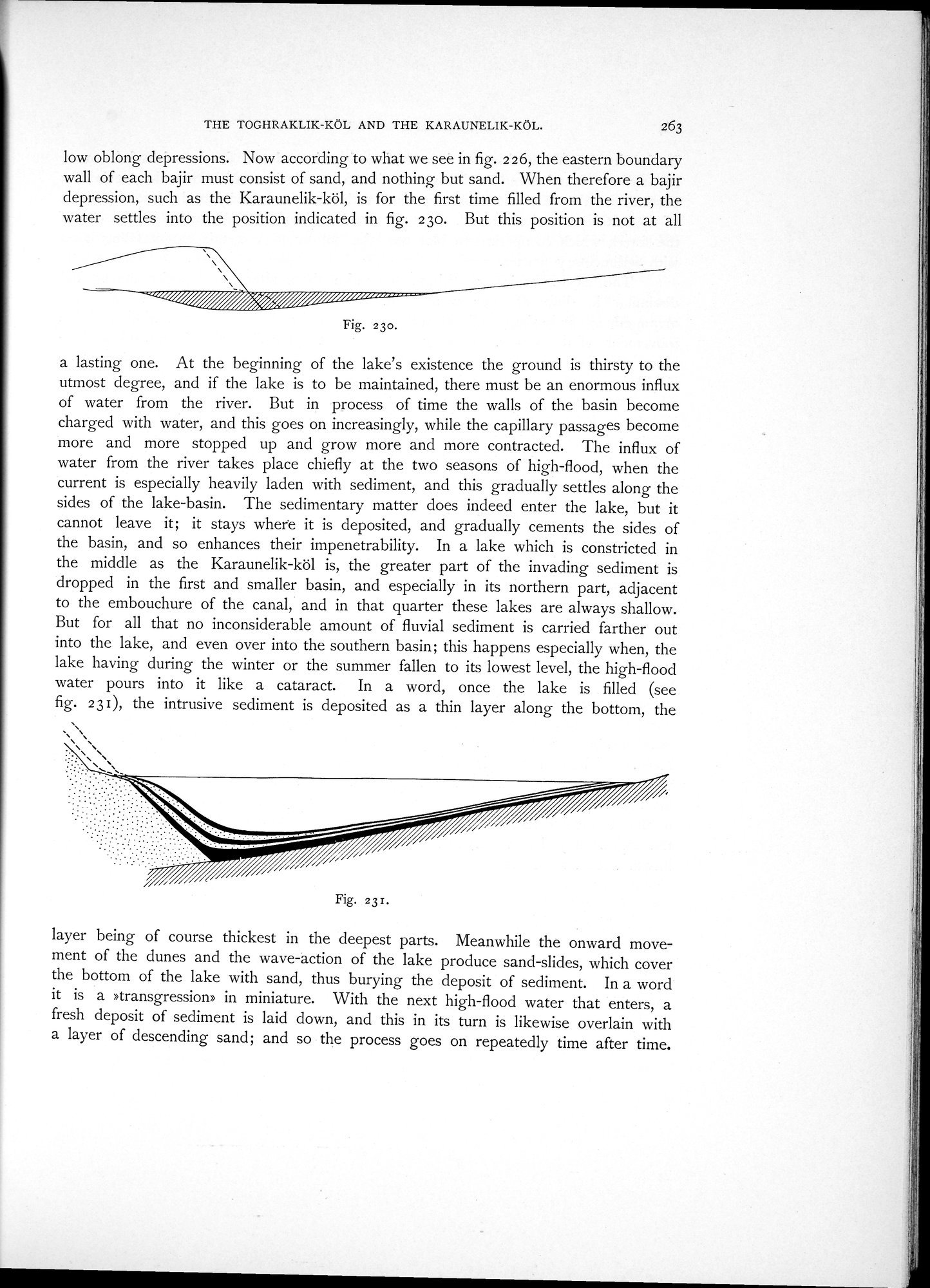
low oblong depressions. Now according to what we see in fig. 226, the eastern boundary wall of each bajir must consist of sand, and nothing but sand. When therefore a bajir depression, such as the Karaunelik-köl, is for the first time filled from the river, the water settles into the position indicated in fig. 23o. But this position is not at all
~~~ / i //////~~//i~
Fig. 23o.
a lasting one. At the beginning of the lake's existence the ground is thirsty to the utmost degree, and if the lake is to be maintained, there must be an enormous influx of water from the river. But in process of time the walls of the basin become charged with water, and this goes on increasingly, while the capillary passages become more and more stopped up and grow more and more contracted. The influx of water from the river takes place chiefly at the two seasons of high-flood, when the current is especially heavily laden with sediment, and this gradually settles along the sides of the lake-basin. The sedimentary matter does indeed enter the lake, but it cannot leave it; it stays where it is deposited, and gradually cements the sides of the basin, and so enhances their impenetrability. In a lake which is constricted in the middle as the Karaunelik-köl is, the greater part of the invading sediment is dropped in the first and smaller basin, and especially in its northern part, adjacent to the embouchure of the canal, and in that quarter these lakes are always shallow. But for all that no inconsiderable amount of fluvial sediment is carried farther out into the lake, and even over into the southern basin; this happens especially when, the lake having during the winter or the summer fallen to its lowest level, the high-flood water pours into it like a cataract. In a word, once the lake is filled (see fig. 23I), the intrusive sediment is deposited as a thin layer along the bottom, the
Fig. 231.
layer being of course thickest in the deepest parts. Meanwhile the onward movement of the dunes and the wave-action of the lake produce sand-slides, which cover the bottom of the lake with sand, thus burying the deposit of sediment. In a word it is a »transgression» in miniature. With the next high-flood water that enters, a fresh deposit of sediment is laid down, and this in its turn is likewise overlain with a layer of descending sand; and so the process goes on repeatedly time after time.
|
Copyright (C) 2003-2019 National Institute of Informatics and The Toyo Bunko. All Rights Reserved.