National Institute of Informatics - Digital Silk Road Project
| |||||||||
|
| Eine Routenaufnahme durch Ostpersien : vol.2 |
 |
N
N
0
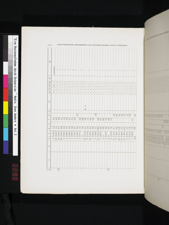
KARTOGRAPHISCHE BESCHREIBUNG DER ROUTENAUFNAHME DURCH OSTPERSIEN.
1 2 3 4 5 6 7 8 9 10 I11 12 13 14 15 16
8 N 70 0 7.5 10 N 65 0 9.1 10 N 61 0 8.7 10 N 62 0 8.8 3 N 58 0 2.5
2.7
w 1 t
Sanddünen
4.2
»
113
4.8
4.7
1.6
»
3
N 66 0
2.7
1.2
v
»
N80O
3.9
4
r 0.7
»
»
5
N60O
4.3
2.5
»
8 N57O
4 S 800
6.7
4.4
»
3.9
0.7
»
»
»
1
N77 0
1.0
0.2
»
0
1.0
1
0.0
»
10
N75O
9.7
2.6
2m 5s
N 74 0
6
5.8
1.7
10
N57O
N 80 0
S 60 0
8.4
3.9
1.7
5.4
4
0.7
»
2
1.0
»
N85O
10
10.0
0.9
»
N 80 0
3.9
4
0.7
»
»
0
5.0
5
0.0
»
»
»
5 N 78 0 4.9
8 0 8.0
8 N77 0 10 S 75 0 3 S 880 12 S 70 0
7.8
9.7
3.0
11.3
1.0
»
114
0.0
»
»
»
1.8
»
»
»
»
2.6
»
0.1
»
4.1
»
10 S 60 0
15 S 58 0 12.7
5 S 70 0 4.7
6
5810
8.7
5.9
5.0
7.9
»
1.7
0.9
N 86 0
1.0
0.1
1
»
S
0.0
0.5
0.5
»
|
Copyright (C) 2003-2019 National Institute of Informatics and The Toyo Bunko. All Rights Reserved.