National Institute of Informatics - Digital Silk Road Project
| |||||||||
|
| Eine Routenaufnahme durch Ostpersien : vol.2 |
 |
0 1 2 3 4 5 6 7 8 9 10 11112 113 14 15 16
S 22 0
S 170
S 100
S 52 0
S 50 0
S 20 0
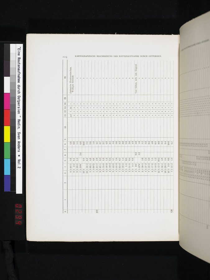
KARTOGRAPHISCHE BESCHREIBUNG DER ROUTENAUFNAHME DURCH OSTPERSIEN.
120
6.7
10 S 3 0 0.5
7 S 160 1.9
4.4
3.0
3.2
4.1
2.6
6.2
5.8
8.0
U
» »
auf f St t Zahlreiche Erosionsfurchen.
Welliges Gelände
8 S 44 0 5.6
8 S 30 0.4
S 50 0
S 20W
S
S 38 0
S 60 0
S68Ô
S 35 0
S 42 0
S 25 0
S 180
S 39 0
1.5
2.4
0.0
6.2
4.3
4.6
2.9
3.3
1.3
1.5
2.5
» »
» »
» »
»
2
7
10
10
5
5
119
5
5
3
5
4
»
4.1
3.7
w
2.7
4.8
»
3.1
»
1.3
»
6.6
»
»
10.0
7.9
» »
2.5
»
1.9
» U
2
3.8
5
»
»
2.4
4
»
»
S 37W
S 50 0
S 37 0
1.2 1.6
3.2
3.2
»
»
S 43 0
S 41 0
S 63 0
S 20 0
S 50
5110
S 90 S 8W
1.4 3.8
' 0.2 2.0
0.4 2.0
0.8 4.9
0.4 3.0
»
»
»
Viel Schutt, sehr öde Gegend
6
4
7
4
2
2
5
3
»
» »
»
»
»
6.5
»
»
»
4.8
6.9
8.0
»
»
»
»
»
1
3.2
9.4
0.0
»
»
» » » »
7
5
7
13
5
10
2.6
1.5
1.2 10.2 3.81 3.4
|
Copyright (C) 2003-2019 National Institute of Informatics and The Toyo Bunko. All Rights Reserved.