National Institute of Informatics - Digital Silk Road Project
| |||||||||
|
| Eine Routenaufnahme durch Ostpersien : vol.2 |
 |
BANI) II.
\"[![. (;tc„ i \\
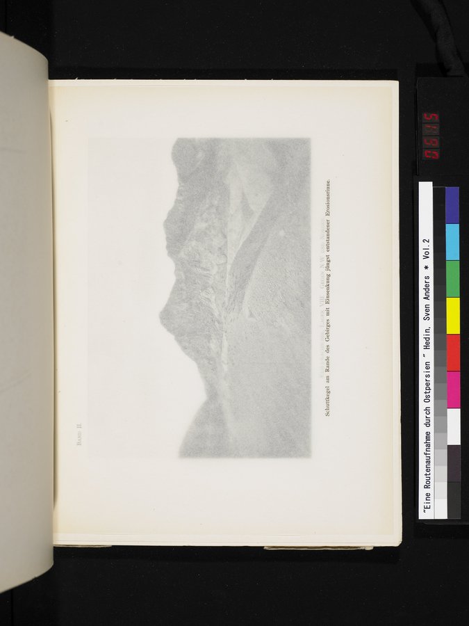
Schuttkegel am . Rande des Gebirges mit Einsenkung jüngst entstandener Erosionsrinne.
|
Copyright (C) 2003-2019 National Institute of Informatics and The Toyo Bunko. All Rights Reserved.