National Institute of Informatics - Digital Silk Road Project
| |||||||||
|
| China : vol.2 |
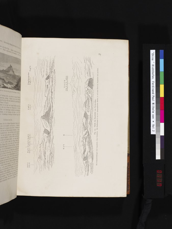 |
N 8° 0 (15 m.)
troleaRZ .
-
N 711/40 W
(ung. 25 g. m. entfernt, höchster sichtbarer Punkt)
Fig. Is. Theile der Rundsicht von Ta-ku-shan.
magnetisch, ohne Correction. Die Entfernungen in »g. m.« (geographischen Meilen, 6o auf einen Grad des Aequators) sind geschätzt.
|
Copyright (C) 2003-2019 National Institute of Informatics and The Toyo Bunko. All Rights Reserved.